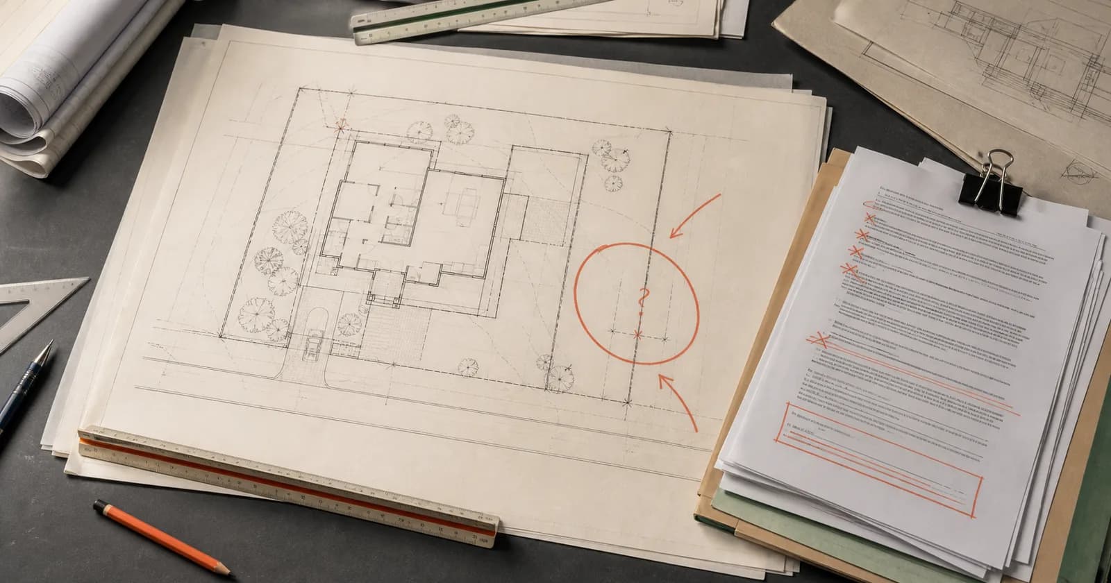
The application is filled out. The concrete sub is penciled in for the following week, and the lumber package has a delivery date. At the counter, the reviewer flips past the application to the placement page and asks one question: where is your plat?
You hand over the drawing that came in the closing folder. The reviewer checks the title block, reads a survey date from more than a decade ago, and asks whether the deck on the back of the house is shown. It is not. The deck went in years after that drawing was made. The sheet slides back across the counter.
Nothing about the garage was wrong. Nobody looked at the garage. The file stopped at the document that establishes where the lot lines actually are, because every other number in a placement review is measured from those lines.
That document is the plat of survey. It is the quietest reason a residential submittal stalls, because it fails before anyone evaluates the project itself.
What the surveyor actually drewWhat the surveyor actually drew
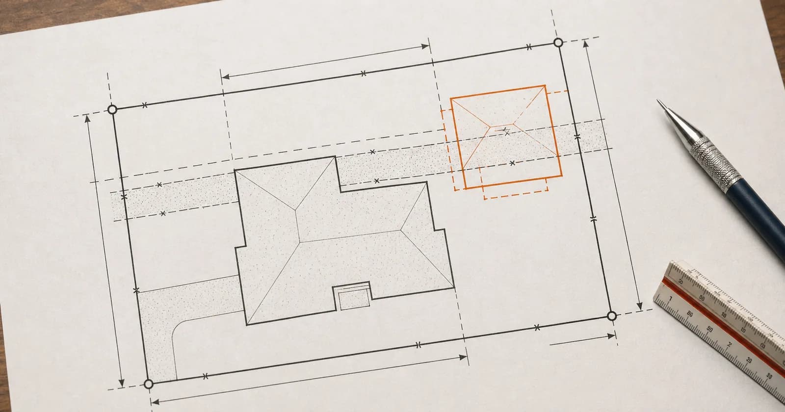
A plat of survey is a scaled drawing of one parcel, prepared and sealed by a licensed land surveyor who put instruments on the ground and measured it. It is a record of fact, not a sketch of intent. Content varies by surveyor and by state practice, but a residential plat generally carries:
- The legal description and the lot boundaries, with a dimension and a bearing on every line
- Every existing structure, dimensioned to the nearest lot lines
- Recorded easements, usually dashed, with a note naming what each one is for
- Hard surfaces: driveway, walks, stoops, patios, and frequently the fences
- Encroachment notes when something crosses a line, in either direction
- The surveyor's seal and signature, plus the date the field work was performed
The seal and the date are the first two things a reviewer looks at. The seal says a licensed professional stands behind the measurements. The date sets the boundary of what the drawing can honestly claim about the property today.
The distinction almost everyone gets wrongThe distinction almost everyone gets wrong
People use "plat" and "site plan" as if they were one document. They are two things doing two jobs, and the confusion is fair: a finished submittal often looks like one sheet.
A site plan is your drawing of proposed work. You make it, or your contractor does, or a designer does. It shows the new structure, its dimensions, and the distance from each edge of it to each lot line. Most departments want it drawn on a clean copy of the plat, which is exactly why the two blur together on paper.
The plat is the base layer. The site plan is what you draw on top of it. One is evidence, the other is a proposal, and a reviewer holding only the proposal has no way to verify a single measurement on it.
Placement gets settled in the land-use lane, which runs ahead of construction review in most offices. If that sequence is new to you, the split between a building permit and a zoning approval is worth ten minutes before you draw anything.
Three documents get called "the survey" in a closing folder, and only one of them is your plat.
| Document | What it actually is | Works as your placement base? |
|---|---|---|
| Plat of survey | Your one parcel, measured on the ground and sealed by a licensed surveyor | Yes, this is the one |
| Plat of subdivision | The recorded map of the whole subdivision: lots, blocks, dedicated streets, and the easements granted across all of them | No, it maps the subdivision, not your lot |
| Mortgage inspection or location report | A limited drawing some lenders order at closing, frequently stamped as not a boundary survey | Often not, many departments will not accept it |
Check the title block before you assume the sheet in your folder qualifies.
Why reviewers build everything on itWhy reviewers build everything on it
Placement review is arithmetic. Nearly every number a zoning reviewer checks is a distance from a lot line or a percentage of lot area, so the whole review is only as accurate as the boundary drawing.
Four checks run off the plat on almost every outdoor project:
- Setbacks. Front, side, rear, and corner-side minimums, measured to the structure rather than to a fence or a hedge. The way setbacks are actually measured is where most homeowner assumptions break.
- Lot coverage. Total building footprint as a share of lot area, which requires a real lot area figure and every existing structure counted.
- Impervious surface. Roofs plus hard surfaces, checked against a stormwater cap in many suburban jurisdictions.
- Easement clearance. Whether the proposed footprint touches a strip somebody else has a permanent right to.
Take away the measured base and every one of those becomes a number the applicant asserted about their own property. Reviewers in a zoning review do not have the option of taking that on faith.
The easement trapThe easement trap
Easements are the part that costs real money, because an easement is invisible on the ground. There is nothing to see. Grass, maybe a swale, sometimes a pedestal or a manhole lid twenty feet away. The strip exists on the recorded plat and in the chain of title, and it does not care what the yard looks like.
Some easement holders will consider a written encroachment agreement for lighter improvements, but that is a negotiation with the utility or district and it moves on their calendar. Better to find the strip during design, when moving the structure costs an eraser. The same applies to deck permits, where a cantilevered corner reaches farther than the footings suggest.
Missing, illegible, or out of dateMissing, illegible, or out of date
Three failure modes account for most plat-related rejections, and none of them are about the quality of the survey work.
Missing is the easy one. Check the closing packet first. Then the title company, the lender, or the closing attorney. The surveying firm named in the title block is often the fastest path, since they hold the field records and can re-issue or update a prior survey for a fraction of a new one. Only after all of that do you order a fresh boundary survey.
Illegible kills more submittals than people expect. A scan of a photocopy of a fax loses the dimension text along the lot lines and blurs the seal. If a reviewer cannot read the number, the number does not exist. Submit the cleanest full-size copy you have, and if the seal has gone gray, get a replacement from the surveyor.
Out of date is the subtle one, because the drawing looks fine. It just no longer describes the property. Anything added after the survey date is absent from it: a patio poured two summers ago, a shed, an addition, a widened driveway, a fence that changed where people believe the line runs. A plat that omits existing structures cannot support a lot coverage calculation, and a reviewer will say so.
What a survey costs, and when you actually need oneWhat a survey costs, and when you actually need one
This is the question that stalls projects, usually because nobody wants to ask it.
Two ranges get quoted most often for a residential boundary survey.
Commonly quoted cost of a residential boundary survey
Market ranges rather than a quote. Dollars per survey.
Source: Permitech review of public residential survey cost guides
Analysis by Permitech
Free to cite with attribution to Permitech and a link to this page. Republishing the chart or the underlying table without attribution is not permitted.
View the data
| Category | Low end (dollars) | High end (dollars) |
|---|---|---|
| Illinois | 400 | 1,500 |
| Cook County | 600 | 1,500 |
The ceiling is the same in both. What moves is the floor, so the cheap end of the market is harder to find in Cook County. Price tracks lot size, terrain, tree cover, how buildable the corners are, and whether recent field records exist. Treat these as commonly quoted ranges rather than a quote. Call two firms and you will get two numbers.
Two things move that figure, and both are worth knowing before you call anyone.
An update or re-issue of an existing survey costs meaningfully less than a new one, because the firm already holds the field notes. If the title block names a surveyor who is still in business, that call is the cheapest one you can make.
Before you spend anything, check the closing packet. Buyers are often handed a survey at purchase and file it without registering what it was, so the cheapest survey is frequently the one already in a drawer.
When a simpler drawing is enoughWhen a simpler drawing is enough
Not every project needs a sealed survey, and departments differ more here than on almost any other submittal item. Some accept a hand-drawn site plan for a small shed. Some accept a county GIS aerial with the structure and dimensions marked on it. Others require the plat on anything that gets a footing.
The pattern, loosely: the smaller and more temporary the structure, the more flexible the office tends to be, and the more permanent the foundation, the more likely the plat is mandatory. Dense inner-ring suburbs ask for it more often than rural townships, and that holds across Illinois as much as anywhere else.
Marked aerials carry a real limitation. GIS parcel lines are drawn for mapping, not for measurement, and they can sit several feet off the true boundary. They also do not show recorded easements. On a lot with room to spare, that is survivable. Where the structure lands within a couple of feet of a minimum, it is guesswork with a permit attached.
The only reliable answer comes from the authority reviewing your project, and it is a question worth asking before you spend money on a survey you may not need. That check is part of what Permitech's research pass resolves for an address, and a human permit technician verifies it before it reaches your file.
Getting the placement page right the first timeGetting the placement page right the first time
Before anything goes to the counter, the placement package should stand on its own without a phone call.
- A legible full-sheet copy of the plat of survey with the surveyor's seal and date readable
- Every existing structure on the lot shown, including anything added since the survey date
- All recorded easements identified, with the proposed structure clearly outside them
- The proposed structure drawn to scale with dimensions to each nearest lot line
- Setback, lot coverage, and impervious surface figures written on the sheet, not left for the reviewer to derive
- Written confirmation of which placement document this specific office accepts
That last line is the one people skip, and it decides whether the rest of the list was even the right work. Placement documents are among the most jurisdiction-specific items in a residential submittal, which is why they show up so often in the patterns behind permit denials.
A Permit Package answers that at the address level across 7,000-plus jurisdictions in Illinois, Wisconsin, and Indiana: which placement document the office wants, which easement and coverage rules apply, and what the reviewer checks against. AI research assembles it in minutes, a permit technician verifies it, and the full requirements set and pricing land before you have committed a dollar to concrete.
Get the base layer right and the rest of the drawing has something to stand on.